In development2024
Windo
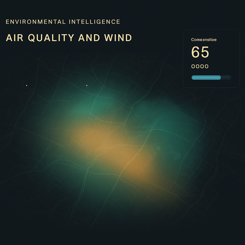
High-resolution environmental intelligence built from open data.
Problem
Useful environmental data exists — air quality stations, weather models, satellite passes — but it is sparse, mismatched in resolution, and published in incompatible formats and cadences. Most people only ever see a single nearby station reading, which can be wrong for their actual location.
System
Windo ingests several open data sources on their own schedules, aligns them in space and time, and interpolates them into a continuous high-resolution field that can be queried at any point. The pipeline is incremental: new observations update only the affected region rather than recomputing the world.
Decision
Treat resolution as a modelling problem, not a data problem
Rather than wait for denser sensors, Windo treats the gaps between observations as something to estimate with uncertainty attached. Every queried value carries a confidence, so the product can be honest about where it is guessing — which matters more than a clean-looking map.
Demonstrates
An ambitious data product: heterogeneous ingestion, spatial-temporal modelling, and a calibrated sense of when not to trust the output.